
HOW CAN DATA AND TECH HELP NATURE CONSERVATION?
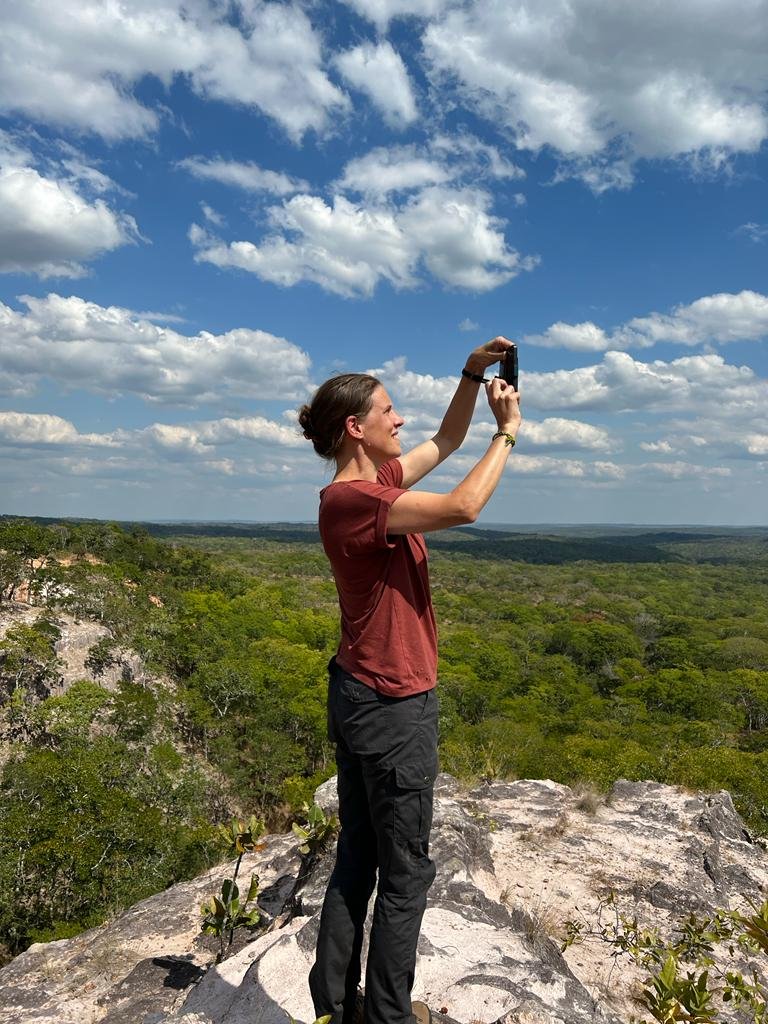
Featured image: Judith Dekkers, private archive
With 12 Consortium Members, the Nature FIRST project operates under coordination of Sensing Clues – a non-profit organisation that creates data-driven solutions for nature conservation. Operating from 2017, it has established a wide network of field partners in Africa, Europe, Asia and South America. Sensing Clues has impressive experience in developing solutions for monitoring various species and implements it within Nature FIRST. This post will explore why Nature FIRST is needed now, how the experience of Sensing Clues helps the project, and what the main challenges are which the team should tackle.
Data collection and analysis are rapidly developing in many industries. Its applications have proved to be effective to summarise previous experience and inform decision-making to deliver better results. However, the benefits of data collection and analysis are not yet fully exploited in the area of nature conservation.
"The use of new technologies in nature conservation is undervalued, and we can achieve considerable progress, making it more efficient and effective", – comments Judith Dekkers, Operations Manager at the Sensing Clues foundation, and Project Manager of the Nature FIRST project.
One of the organisations that has started adopting tech advances for preserving biodiversity is Sensing Clues. It was founded in 2017 by Jan-Kees Schakel with a slogan "Turning Wild Spaces into Safe Havens". The team consists of law enforcement, data science, software engineering and training professionals who develop and implement a toolset for data collection and analysis. They currently work with many field partners and together protect more than 4 million hectares of nature worldwide. Being a Consortium Member of Nature FIRST, it brings unique expertise to the project.
Data-driven Tools for Nature Conservation
The Nature FIRST field partners in Maramures Transboundary Area, Danube Delta, Ancares-Courel and Stara Planina Mountain have already started using one of the tools – the mobile application Cluey. It is specifically designed to collect data about animal sightings, human-wildlife conflicts, (illegal) human activities and community work. It helps to coordinate the teams of the ground to, for example, send ranger teams to the right places at the right time.
The app is very user-friendly, only minimal digital literacy is needed. Moreover, Sensing Clues develops versions of Cluey in several languages and adds graphics and images to make the process even easier. During the next three years the team will develop more functions that are specifically relevant for the areas of Nature FIRST field partners.
"We will e.g. add a configuration to monitor the sturgeon in Romania. Thanks to the architecture of our tools they can be easily configured in accordance with the needs of partners", – says Judith.
Nature FIRST would also benefit from experience of Sensing Clues in working with field partners. As soon as its toolset was released, Sensing Clues started actively expanding the number of field partners making its impact global. Two main factors behind it are networks of existing partners and on-site work of the Sensing Clues employees to provide effective training to new partners on how to use tech tools. Similar training was provided to Nature FIRST field partners in October 2022.
Human-Induced Threats and Nature FIRST
“I would say that almost all of the threats to biodiversity are caused by humans”, – highlights Judith.
Nature FIRST might decrease the effect of these threats in several ways. First of all, forensics tools can help in collecting evidence for wildlife crimes investigation, prosecution and prevention. It might also contribute to understanding how wildlife crime is organised.
Secondly, the experience of Sensing Clues shows the effectiveness of analysing historical data: this way they create risk maps that highlight most endangered areas. These maps work as a tool for ranger groups to understand which areas they should patrol more. It has already shown impressive results in fighting illegal logging for charcoal in Kenya.
Thirdly, another important method is prevention of human-wildlife conflicts. When habitat areas of animals are shrinking, these species might intervene in human-populated territories, which can potentially cause conflict situations. To prevent them, habitat maps can be created to monitor species and their migration routes. They have proved to be effective in more responsible area planning in Italy: habitat maps developed by Sensing Clues in partnership with Wageningen University were created to avoid conflicts between bears and humans.
Challenges for Nature FIRST
Although there are many opportunities, there are also challenges to tackle. One of them is to more specifically define goals and priorities to be achieved in the next three years of the project.
Another important challenge is to develop solutions in such a way that will also be useful for other projects and organisations outside the partners network. "It is really important that whatever we develop within the project is available and scalable after the project ends. We should help field partners, but the aim of the project is to create solutions that can be implemented everywhere", – adds Judith.
To stay up to date with the Nature FIRST project, sign up for our newsletter and follow us on social media.